
Geospatial × Design Studio.
Where data-driven geospatial insights meets creative design services.
Services
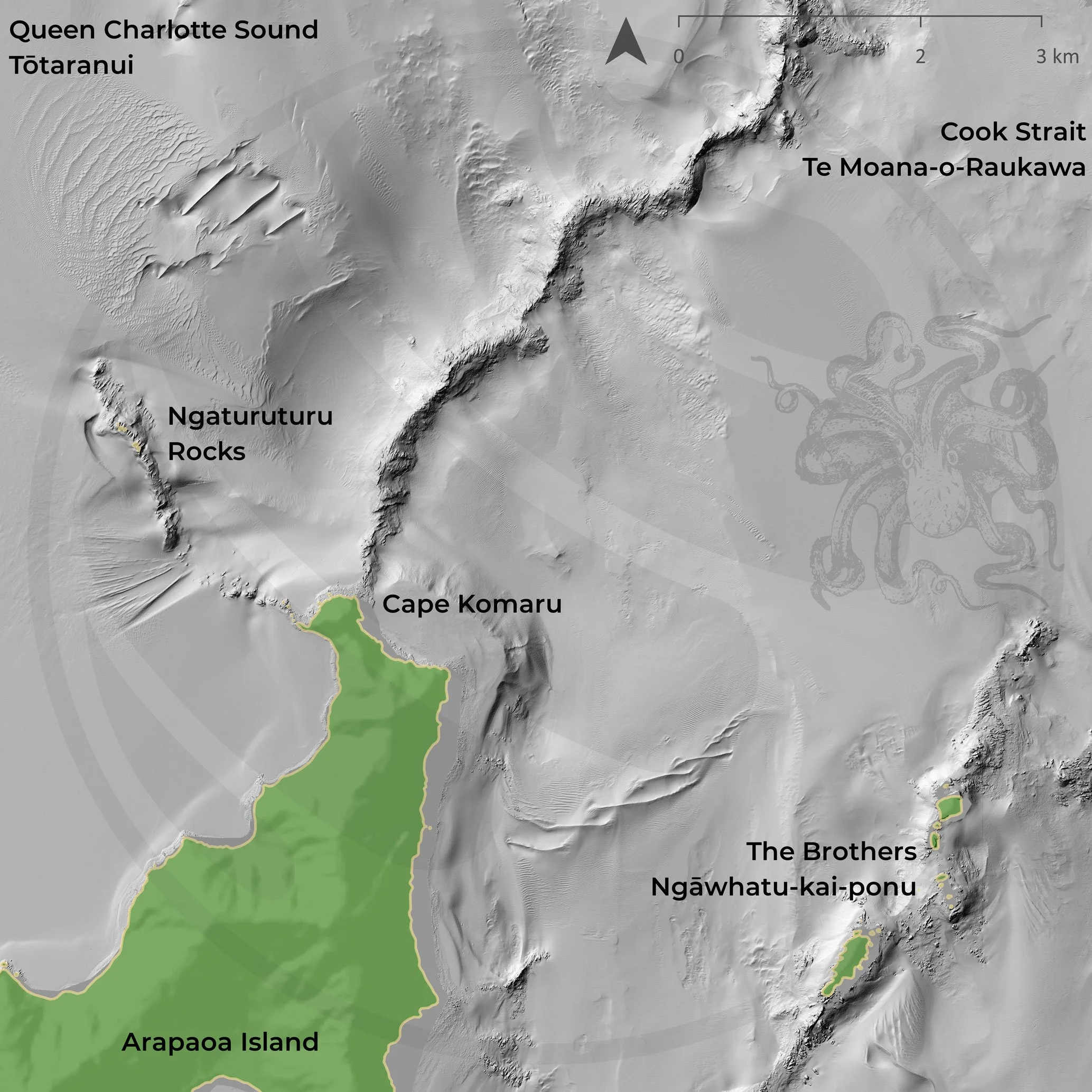
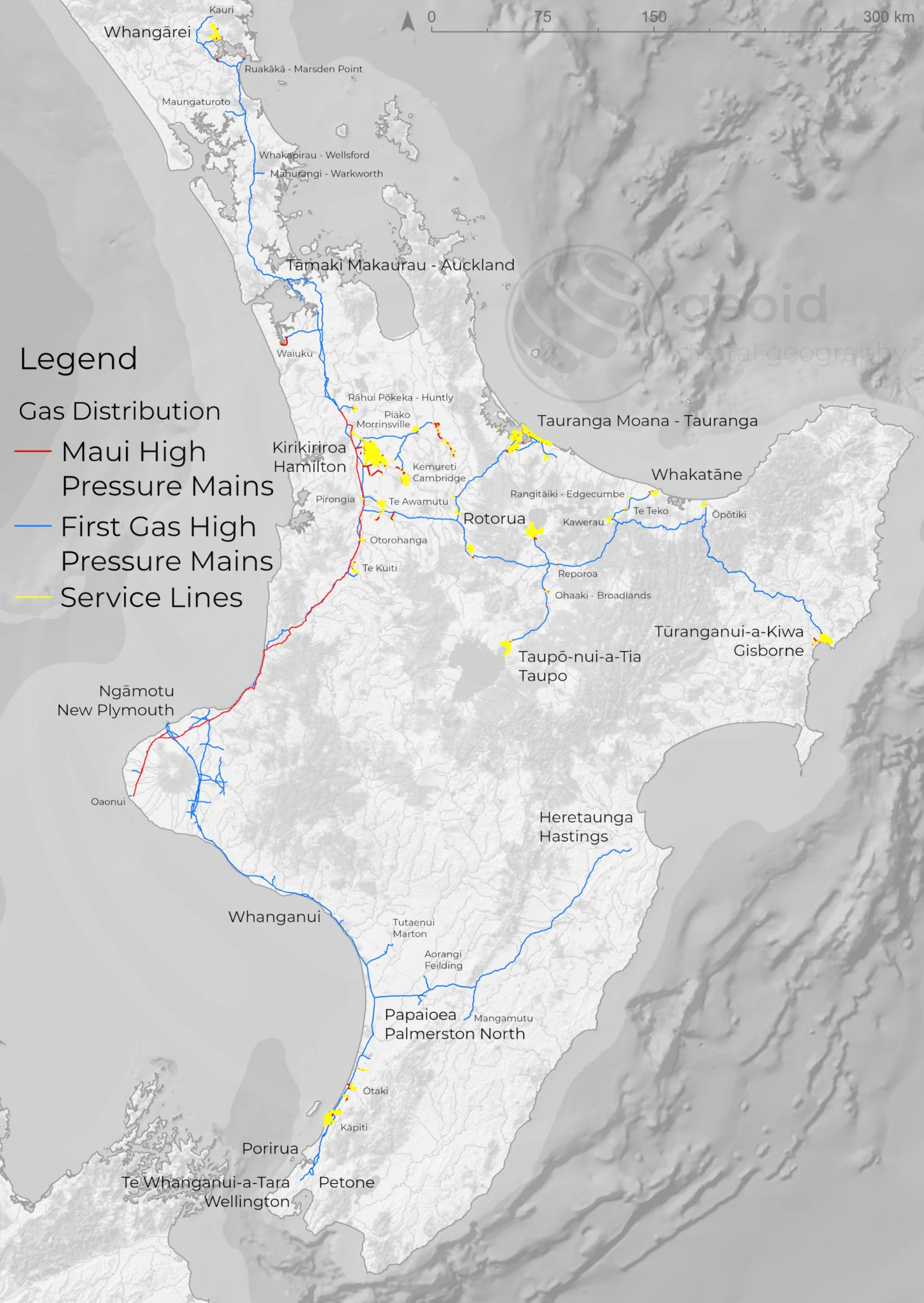
Cartography is the art and science of transforming complex spatial data into clear, engaging, and meaningful maps.
Geoid designs visually compelling, accurate cartographic products that communicate spatial insights effectively. Whether for written reports, web platforms, or active decision-making; ensuring your data is not just seen, but understood.
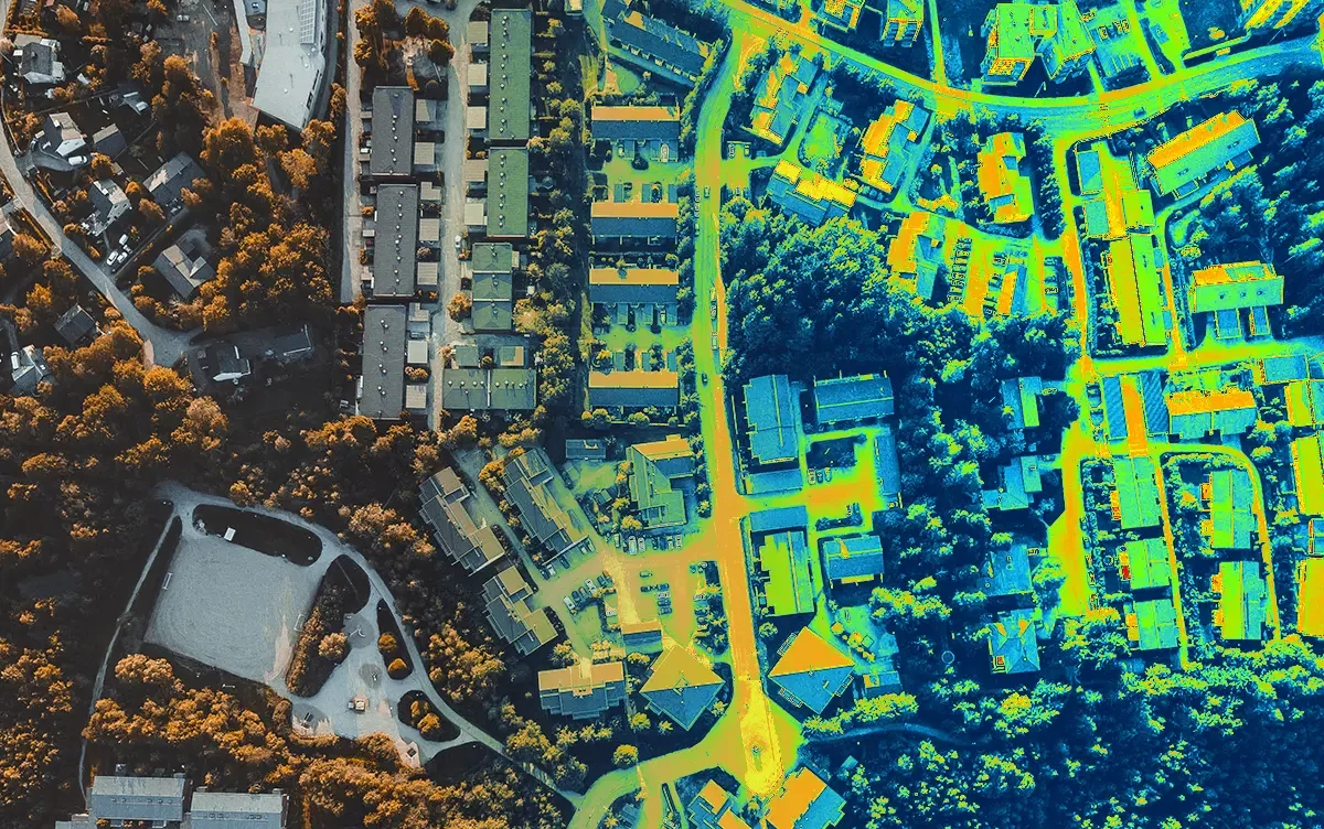
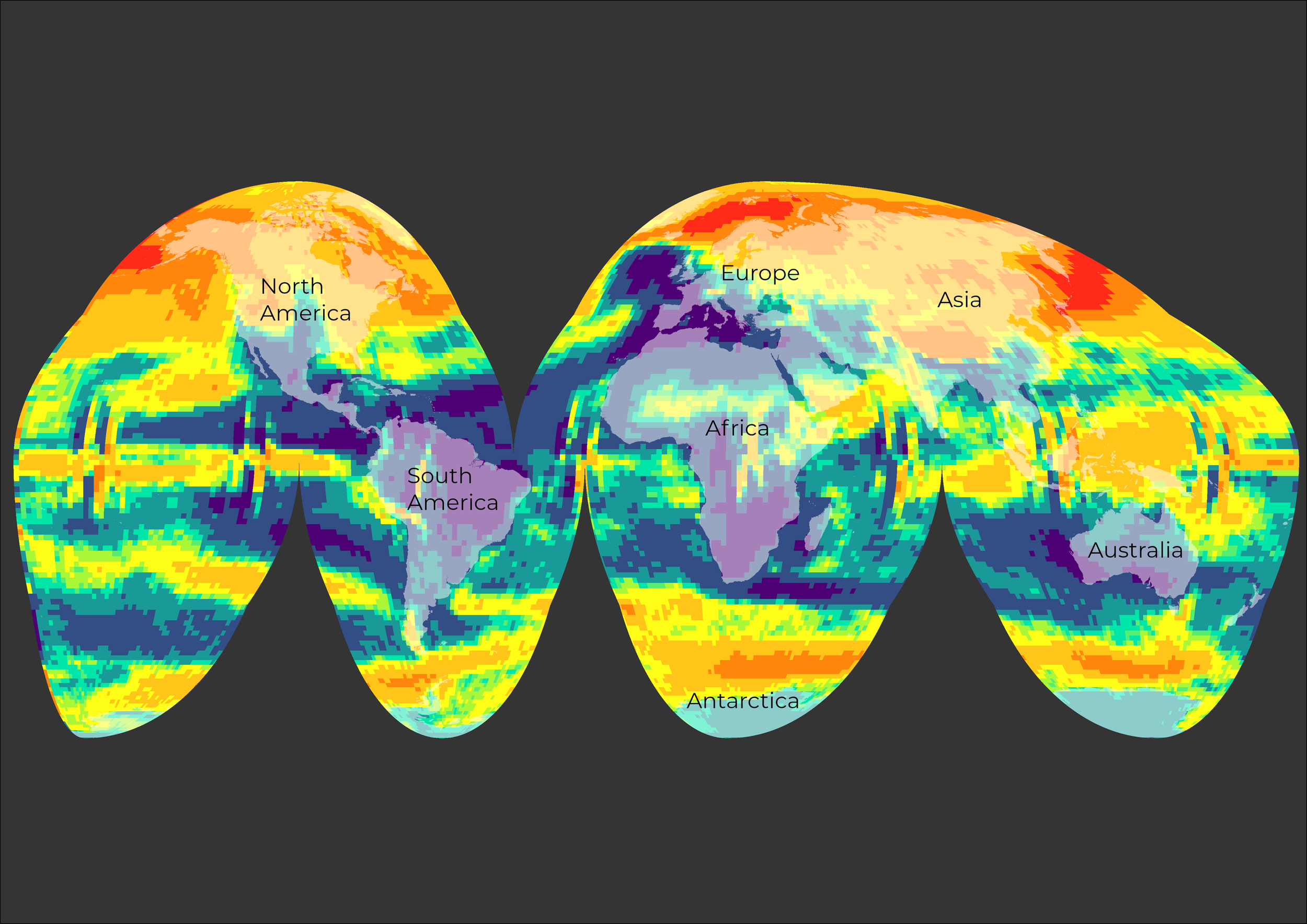
Using Geospatial Analytics to turn location-based data into clear, actionable insights that drive smarter decisions.
By leveraging GIS tools, we help organisations optimise site selection, understand customer and environmental patterns, assess risk, and allocate resources more effectively; enabling more strategic, data-driven planning, and unlocking new opportunities for growth.
We combine expert cartography with thoughtful logo and graphic design to bring your ideas to life visually.
From clear, engaging maps that communicate complex spatial information, to distinctive logos and cohesive brand graphics, we create visuals that are both functional and memorable; helping your message stand out and connect with your audience.
VISION
Geoid [jee-oid] noun. a hypothetical solid figure whose surface corresponds to mean sea level and its imagined extension under (or over) land areas.
"The geoid is the shape that the ocean surface would take under the influence of the gravity and rotation of Earth alone (if other influences such as winds and tides were absent). This surface is extended through the continents."
Map [mæp] (pl. maps.) noun. a visual representation of physical, tangible objects and features that emphasises their relationship to the user or reader.
It’s essential for a useful map to lie, white lies that distort reality to display meaningful relationships for a complex, three-dimensional world on a flat sheet of paper or screen. Foreign symbols, bright colours, and bold markings that must be decoded using a map legend or key to understand the information underneath.